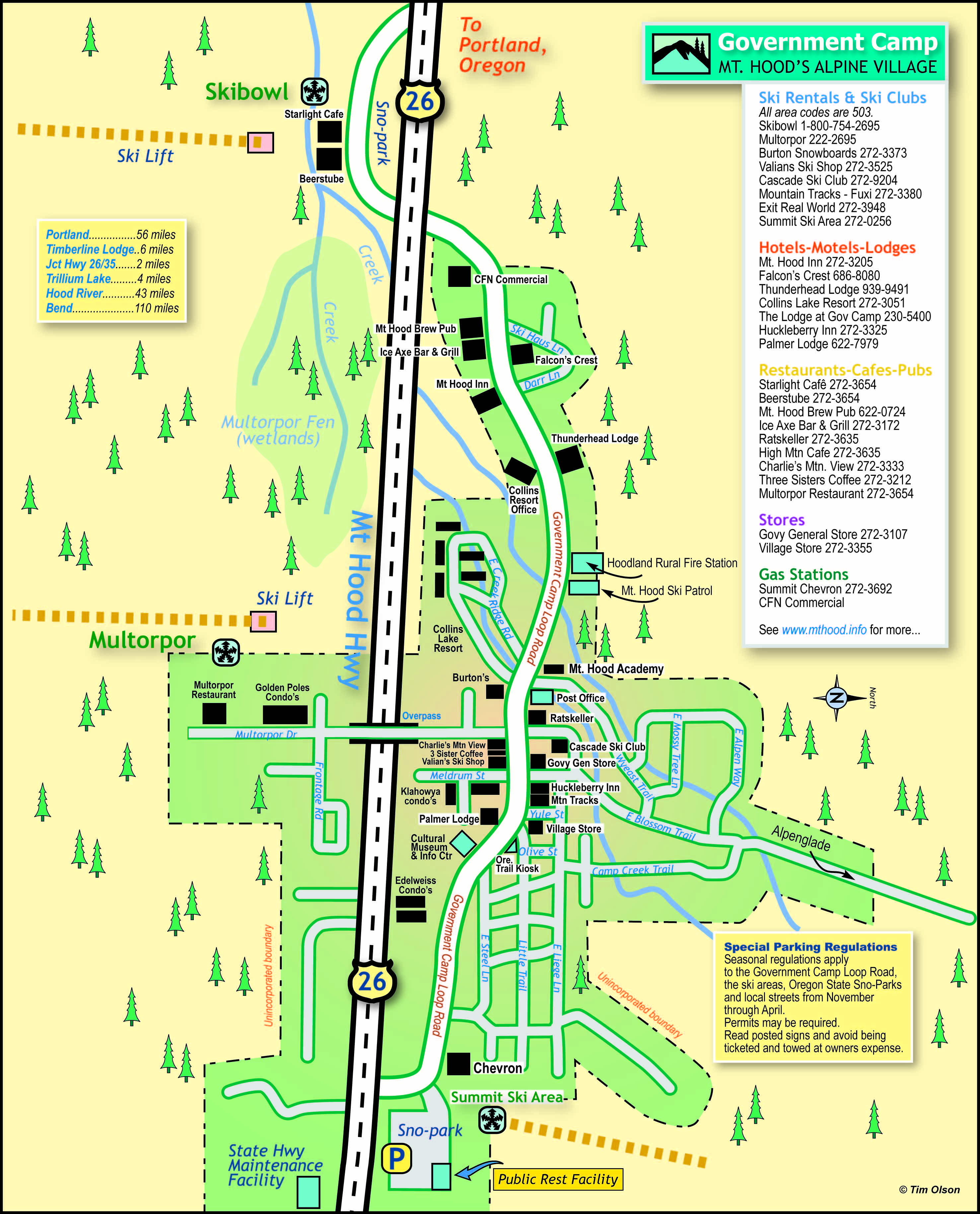
The Government Camp overview maps (both JPG and PDF) found here can help you attain a quick overview of this small tourism based community. The maps show many of the retail businesses, restaurants, lodges, various public entities, and road systems from a birds-eye perspective.
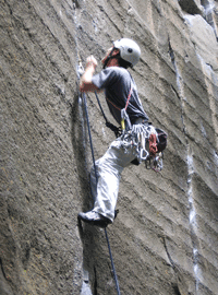
Government Camp, Oregon is an idyllic community along US highway 26 on the south slope of Mt Hood about 56 miles east of Portland, Oregon. It is a popular small tourist friendly district that is the primary junction hub that serves the winter needs of skiers who utilize the numerous ski resorts in the area. In summer the region around Mt Hood Village is popular for hiking, mountain biking, camping, and mountain climbing. It serves well the needs of most tourist-based folk seeking a great little destination community in the Cascade mountain range.
The primary ski resorts are Timberline Lodge, Mt Hood SkiBowl, the small Summit Ski Area, and Mt Hood Meadows several miles to the east at Bennett Pass. The Mount Hood Village (aka Government Camp) is one of several small communities along the Mt Hood Corridor that work together as loosely based quasi-governments who oversee various activities and needs such as a Bus System, Community Center, Parks, Street improvements, Economic Development, Corridor Protection, and Political strength concerning Clackamas County zoning and development.
Though unincorporated the Mt Hood Village community has plenty to offer in the way of entertainment facilities and lodging. Breweries & Pubs, a Cultural Museum, Coffee Shops, numerous Dining opportunities, seasonal based Events & Festivals, Vacation and Rental Cottages, Resorts, RV Parks and Campgrounds, Retail Businesses, including the ever popular and beautiful Timberline Lodge facility, a national landmark built in the late 1930s by the WPA (Works Progress Administration).
GPS coordinates: 45°18'N 121°45'W Elevation: 3995'
See map links:
Government Camp map (as JPG file)
Government Camp map (as PDF file)