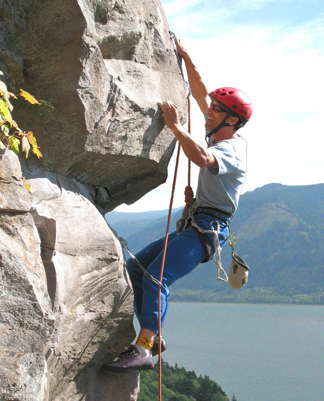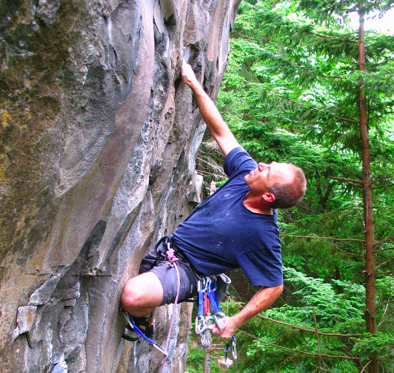
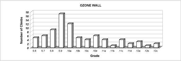
The Ozone Wall is one of the best crags near Portland, and for good reason. Sporting a diverse selection of 80+ climbing routes ranging in difficulty from 5.6 to 5.12+ this fine crag is definitely worth the visit, especially to power your way up one of the steep arete climbs. There are numerous mixed natural/bolt protected climbs, including corner crack climbs that will certainly appeal to everyone.
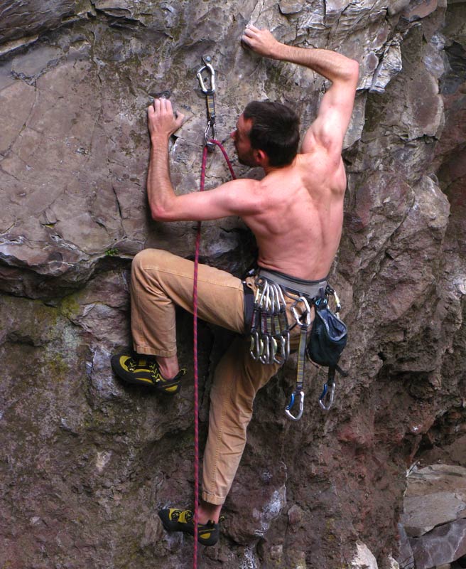
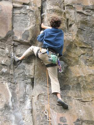
The Ozone Wall is easily accessible by a very short trail hike from the roadside. All the climbs are lead routes which limits the opportunity for use as a beginner's crag for setting up top-rope climbing. The rock is composed of a steep layer of densely compact dark colored basalt with vertically aligned somewhat columnar crack systems. The steep and slightly rounded arete face routes are highly appealing to lead climb for the well disciplined 5.10/5.11 climber. Most of the belay anchors are 90' (30m) high or less. The overall height of the Ozone Wall cliff scarp is about 120' tall near the central portion of the main wall.
In October 2008 several local climbing associates who developed the Ozone Wall published a guidebook with concise route beta and history of rock climbing development at the cliff. Their limited edition guidebook was dedicated to their courageous friend and fellow Ozone developer Kevin Rauch who passed away in March '09 from Amyotrophic lateral sclerosis (ALS), often referred to as "Lou Gehrig's disease." Proceeds from their limited edition book are donated to the Rauch family.
Stratosphere: a minor outcrop located downhill southwest of the west parking lot trail (branch path starts near first Ozone route). Has approx 10 rock climbs (some beta exists on the web). Note: stratosphere is on private property, so access is not assured.
The crag is located on land owned and administered by the State of Washington (DOT) and the U.S. Forest Service. The main concern at present is continued viable roadside parking next to a busy highway. The popularity of this crag may necessitate a better parking arrangement if visitors continue to enjoy the crag in the years ahead.
To visit the crag, drive east from Vancouver, Washington on State 14 from I-205 on the north side of the Columbia River. The crag is slightly west of the high point in the road at mile post 23.7 and is on the south side of the highway (about 1/3 mile east of Belle Center Road). Park on a wide section of paved shoulder [third pullout west of the road high point] to access a narrow dirt trail that angles down eastward under the bluff.
As you follow the narrow climbers trail from the roadside parking area the trail gradually descends into a thick forest of fir trees. The initial steep cliff section at the far west end of the entire Ozone Wall is about 40' in height, but quickly becomes taller as you continue to descend to the trail down to the central portion of the crag.
For Directions and Beta: see the Gorge Rock chapter in the Northwest Oregon Rock guidebook.
Services: Gas station service is available Camas, Washougal, Vancouver, and North Bonneville.
Amenities: The major towns and cities (see list above) provide businesses that offer a variety of grocery stores, restaurants, grills, pubs, or fast-food eateries, including motels.
Camping and Lodging: Beacon Rock State Park has fee camping available. To find limited free roadside camping its better to drive one of the secondary roads away from the Gorge. Lodging is available in the larger cities (Vancouver, Camas, Cascade Locks).
Administrative Agency: The site is located on land managed by Washington DOT.
Seasonal Factors: Climbing here is possible 12-months of the year, though Nov-March tend to be wet, cold, and windy.
Climbing Precautions: Do not stand directly below the leader (possible small loose rocks).
Road access conditions: State Route 14 is paved and open all year.
Additional Notes: A very popular climbing site. You might consider travelling to any one of several dozen other climbing sites during the peak Spring climbing season.